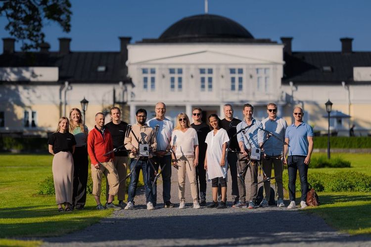
The Project Testbed Air Mobility
Project Testbed Air Mobility aims, through a Triple Helix constellation (Industry, academia and authority), to realize the transformation of climate-smart, efficient, socially friendly transport of both people and goods by further developing functions for infrastructure for advanced control of airspace, digitalization of airports and airspace services.
The project, which is a Swedish initiative through the Advanced Digitization program and Vinnova, develops infrastructure for advanced control of airspace, digitization of airports and airspace services based on the European U-space regulatory framework. The goal is to create the conditions to develop the next generation of advanced, powerful and secure digital solutions for airspace.
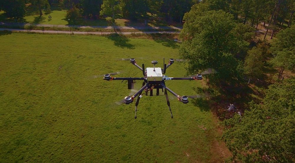
An open test bed is created to fly and simulate UAVs with 5G communication, monitoring and coordination of the traffic. This creates added value for the whole society by enabling research and development of efficient, environmentally friendly integrated air transport including take-off and landing possibilities via vertiports. The project will also focus on new innovative functionality for the air navigation operators new environment with combined manned and unmanned air traffic with more automatization and new management of the airspace.
The Testbed is an open platform for collaboration where industry, academia and authority work together to develop the future landscape for the airspace and get together to address new complex challenges.
We welcome new parties ( projects, SME:s, researchers and others) to join us and use the platform in the coming years.